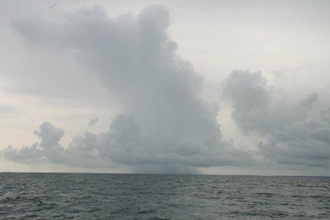
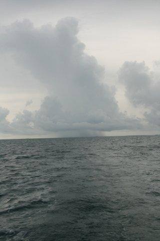
June 17 - Left for Crab Cay anchorage at North end of Great Abaco Island in sunshine after a brief rain shower and pull into the anchorage with dark clouds threatening to the South. We’re out of the Sea of Abaco and onto the Little Bahama Bank. Winds were light and passage was uneventful with jib and “iron jenny”. Could have just sailed but wanted to get into the anchorage before the typical afternoon thunderstorms came. Current summer weather pattern is not to our liking.
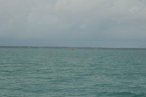
June 18 - Left Crab Cay for Great Sale Cay and sailed some, but winds were light and variable, and thus invariably needed an iron jenny boost. Sky is overcast much of the day, but we’re out of the Sea of Abaco and on the Little Bahama Bank. It’s surprising actually how close to Great Abaco Island the outlying small cays seem. They look much further apart to me on the chart. On the way we are passed by a Trawler named Seaclusion that hailed us on the VHF. Turns out the captain works at a large marina in St. Augustine and is very proud of his Gulfstar 47 and wants to talk about our boat. He’s delivering the trawler for a client. We chat for a while and it turns out we both intend to anchor in Great Sale Cay that evening and then continue on the Old Bahama Bay the next day. We agree to stay in touch. On our way we pass Centre of the World Rock, which is just a small outcropping in the middle of nowhere. Picture is attached to this post. Wind comes up a bit with approaching squalls and we change our plan and anchor in Northwest Harbor rather than along the West coast of Great Sale Cay. We anchor next to Adagio, the vessel with a family cruising for a year that we have met along the way now many times, and we see Seaclusion at anchor as well. Predictably the lightning and rain squalls come through late afternoon and the wind swings from East to South (the only direction from which there is no protection in Northwest Harbor), but they pass through without harm and we settle down for an early morning departure for Old Bahama Bay Marina at Settlement Point on Grand Bahama Island, our jumping off point to return to the mainland.
June 19 - Wake up at the crack of dawn to leave at first light for Old Bahama Bay Marina and there’s a huge squall system poised right to pass over us. Weather map shows substantial lighting and winds pick up, and we decide to let is pass over us before departing if we can. Problem is that if we wait too long to depart we will not have enough daylight to make Old Bahama Bay. System changes direction a little and we leave, with some trepidation and qualms at 7:30 instead of the planned 6:00 a.m. After a few rain sprinkles the squall system does indeed recede and we travel the rest of the day without rain or lightening, the first day in perhaps 10 or so when we experience no rain or lightening. The shortest way to Old Bahama Bay off the Little Bahama Bank from Great Sale Cay is through Indian Cay Passage, but it is very narrow, poorly marked, and said to carry only
7 ft. at MLW. It is not recommended for a boat such as ours carrying a 6 ft. draft. Since there’s no ready assistance out here if you do go aground and can’t get yourself off (it’s really the middle of nowhere) I don’t consider that a viable option. There is also a wide easy exit at White Sands passage, but that’s too far North for us, so we elect to take the Memory Rock passage which is said to be wide and easy. Nonetheless I have a great deal of trepidation about this passage because there is a discrepancy between the plotter and all of the charts and cruising guides. There are a limited number of passages through the reefs and sand bars where we have to exit the Little Bahama Bank to the ocean and all of the charts and cruising guides give us way points that put us going through a section that shows as having very low water on my chart plotter software. The plotter has been wrong in the past, but not frequently, and although I have to trust the fact that three different sources (Maptech Chartkit, Steve Dodge Cruising Guide, and Explorer Chartkit) all give me the same exit way points I cannot help but have trepidation about passing over a section the my plotter says has insufficient water, even at high tide. As it turns out, we never saw less than 12.5 ft. at high tide [perhaps 9.5 at MLLW (Mean Low Low Water)] and the plotter is just wrong. Anyway, it’s a little like what we used to say about nuclear deterrence theory, even though the likelihood of an occurrence is extremely slight, the dire consequences of such an occurrence are sufficient to be extremely intimidating. When we exit the Bank we have to turn North to get to Old Bahama Bay and since the winds and seas are directly from the South we take in the sails and have to power into the seas to get there. Arrive at about 5:45 p.m. After three prior tries, finally get to Old Bahama Bay Marina (West End Grand Bahama Island). I had three times previously planned trips here with Endless Summer our 34 ft. SeaRay, but had to cancel each time due to bad weather in the Gulfstream. The Stream is certainly no place for a 34 ft. SeaRay in bad conditions. Truth be known, it’s not a good place for any vessel when the conditions are bad enough. Anyway, tie up at Old Bahama Bay and visit with the “guys” from Seaclusion for a while before having dinner. Old Bahama Bay Marina is part of a quite upscale resort and very nice.


